
Poly Canyon Trail head gate
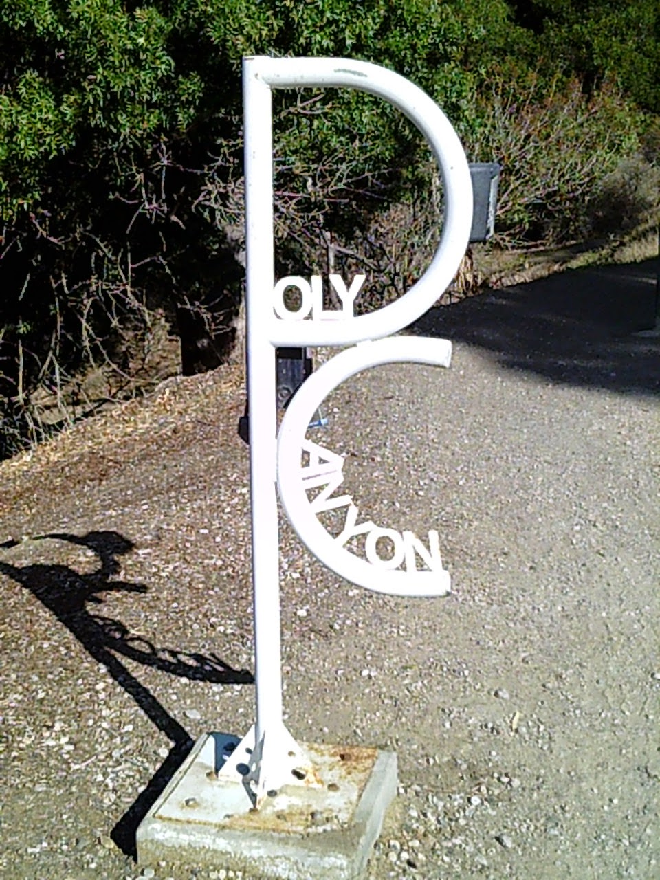
Interesting trail sign
It was a warm and sunny day, perfect for a hike. There were lots of Mountain Bikers, hikers, walkers, and runners using the trail, including several large families. The trail is actually a gravel road that runs north through the university ranch lands into the foothills behind the campus. Opposite the start of the trail, you can view some of the newer built student housing.

Poly Canyon Trail is a gravel road

Student housing
There was some water flowing in Brizzolara Creek, although not in volume nor very fast. Maps show the name as Brizziolario, an apparent misspelling by the United States Geodetic Surveyor's that mapped this area. Brizzolara was the name of a family that once owned this land, which was an 1824 Mexican Land Grant.

Water in the creek
The whole area was very rocky, a mix of volcanic stone, chert's, and Serpentine. There were lots of water channels worn into the rock hillsides.

Water channels
At about 1 kilometer by my pace, I came across this architectural arch. It is the gateway to the university's "Poly Canyon Design Village", a, a series of structures designed and built by students from the architectural and engineering departments. A wooden interpretive guide to the village is located next to the arch.This is a separate trail of about 3 miles round trip and 300' elevation gain.

Poly Canyon Arch

Guide to Poly Canyon Village displays
The Poly Canyon Trail continues to the right of the arch, over a bridge, and passes through some of the college's ranch operation structures.

Poly Canyon Trail, 1 km.
Passing the ranch house and barn, you can begin to see the foothills open up before you. There are no further structures of note beyond this point, although you will pass through several unlocked gates, secured by a chain. This is active cattle ranch land and it is important to re-chain the gate after passing through to prevent cattle from getting out. By my pace, GATE #3 is located 2 km. from the trail head.

Beautiful foothills
The photo below shows two posts flanking a tight "S" curve in the road. A boulder is located to the right. This is the 3 km. point.

3 kilometers from trail head
It was near this 3 km. point that I spotted a partial Black Bear track [front foot] impression in dried mud alongside the trail. This would've been made over a week ago when it rained last.

Black Bear track

Quarter Dollar coin for scale
The trail *officially* ends at the Union Pacific Railroad line, 4 kilometers [2.484 miles] from the trail head by my pace, but "DAY HIKES IN SAN LUIS OBISPO COUNTY CALIFORNIA" by Robert Stone gives the round trip distance as 5.5 miles, or 2.75 miles one-way. There is a gate here and mountain bikers were going in and out of it, probably riding the trails down from west Cuesta Ridge.

Union Pacific Railroad tracks
On this ruck, I carried a pack load of 17 lbs. with 1 quart of water in the hydration bladder.

Coleman "Elate" 38 liter hydration pack
This view from the top of the trail is excellent. Here is a view of Cerro Romauldo [left] and Hollister Peak [[right], part of the Morro's or "Seven Sisters".

Lovely view of The Morro's
Of course, I try to collect litter whenever possible. I spotted out trash on the way out and then collected it on the way back in. Not much along the trail itself, but lots of beer bottles, cans, and other items nearer to the trail head. Probably about 2 lbs. of litter total. A nice young lady , a student I suspect, stopped and complimented me saying thanks for my efforts, which is greatly appreciated recognition/encouragement.

2 lbs. of trail litter collected!
I took some moving footage, but it exceeded the BLOGGER.COM limit, so it wouldn't load. I will see if it'll load to my BUSHCRAFT WOODS DEVIL Facebook page.
In closing, I would state this is a great exercise trail with beautiful scenery and a great soil medium for observing wildlife tracks, especially after rain. If you are in this area I highly recommend this trail to you.
Happy Hiking!
GOBLIN RANGER/BUSHCRAFT WOODS DEVIL
No comments:
Post a Comment